

 |
 |
 |
|
#1
|
||||
|
||||
|
I am unfamiliar with the area.
Viewing the following route: https://ridewithgps.com/routes/260136 About 5 miles of the climb is categorized as unpaved. What is this road surface like? Road bike ridable? Thanks.
__________________
http://less-than-epic.blogspot.com/ |
|
#2
|
|||
|
|||
|
Rockwell Rd is paved top to bottom, you can google streetview it to see
|
|
#3
|
|||
|
|||
|
Yeah its paved, it's the main road up from the south going past the visitor center. Now if you went up Greylock road to the east, that turns into a tough slog until you hit the main road again.
|
|
#4
|
|||
|
|||
|
I rode Greylock north to south in August 2022 and recall just bombing down pretty nice pavement off the top to the south!
__________________
Bingham/B.Jackson/Unicoi/Habanero/Raleigh20/429C/BigDummy/S6 |
|
#5
|
|||
|
|||
|
Both sides are fully paved. I would recommend starting from the parking lot at the foot of Spring Street, unless you’re staying somewhere in town. Also climbing from the North Adams side is tougher, but I much prefer descending the longer side (basically reverse your route). I was just there and went out and back from the North Adams side, pavement is good as always, but it is STEEP in parts and lots of leaves down.
Also if you start on spring street you can get a nice preride coffee at Tunnel City, before getting a Papa Charlies sandwich once you’re done. Tony’s Sombrero is also a good burrito that opened my junior year, and got way too much of my food money  . I’d say the best dinner spot around there for a local spot is Coyote Flaco, just good tasty unpretentious Mexican food served by a very welcoming owner/chef. . I’d say the best dinner spot around there for a local spot is Coyote Flaco, just good tasty unpretentious Mexican food served by a very welcoming owner/chef. Happy to share a bunch more to do and other fun rides for the area. I will say that I also really enjoy climbing Petersburg pass, which you can tack on as an out and back or long extension, if you reverse your loop for the way home. Last edited by ltwtsculler91; 10-17-2024 at 08:03 PM. |
|
#6
|
|||
|
|||
|
Quote:
__________________
Bingham/B.Jackson/Unicoi/Habanero/Raleigh20/429C/BigDummy/S6 |
|
#7
|
||||
|
||||
|
awesome intel, thanks!
If a work trip works out along with a weather window, I'll be reaching back out!
__________________
http://less-than-epic.blogspot.com/ |
|
#8
|
|||
|
|||
|
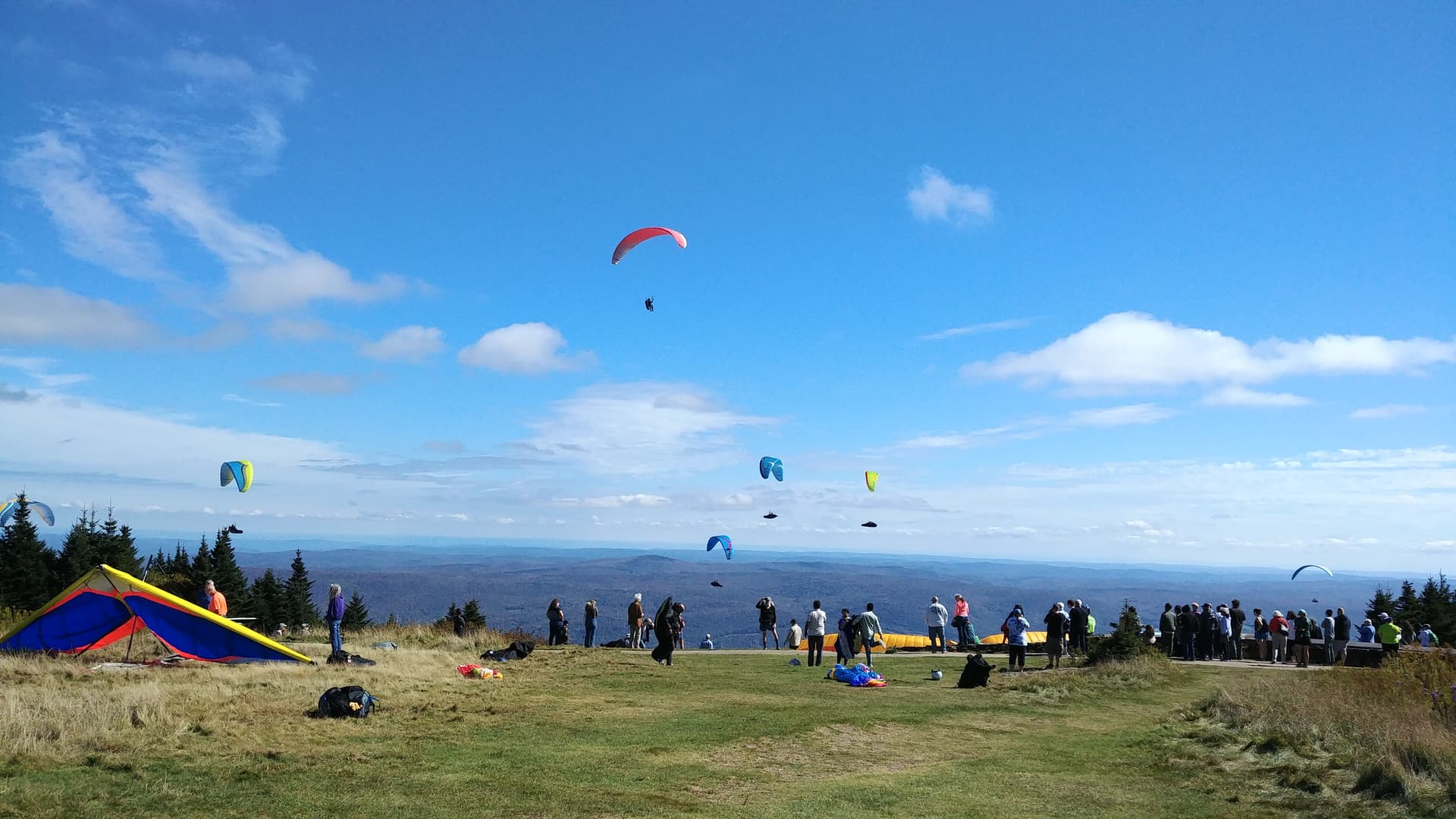
It’s a fun loop and as noted and mapped, best to come down the north side. Pic from a couple of weeks ago…

|
|
#9
|
|||
|
|||
|
Up the steep/down the shallow
Love love love this climb.
I’ve done this many times. The most memorable (though not the most fun) was up and down on a Bike Friday. Good luck! Great riding no matter which you do it (or how). MB |
|
#10
|
|||
|
|||
|
Not sure I'm talking about the same thing as everyone else. I'm reasonably certain that southern route is logging road. I haven't ridden it in a couple years but it was challenging the last time I rode. Definitely big-tire terrain.
ThIs is my big gravel route including Greylock. It's a big day, but fun, with some recognizable bits from D2R2. https://ridewithgps.com/routes/37059586 Last edited by tellyho; 10-17-2024 at 11:08 PM. |
|
#11
|
|||
|
|||
|
Quote:
|
|
#12
|
|||
|
|||
|
Its been a while for me. Thought I recalled descending paved on the south side but looking at routes the ones that come up seem unpaved. Here is a (D2R2 founder) Sandy Whittlesey- designed route from Greenfield. I transcribed it from the "Hilly 100" that he sent me on an Excel spreadsheet about ten years ago.
https://ridewithgps.com/routes/17035585 |
|
#13
|
|||
|
|||
|
Quote:
https://ridewithgps.com/routes/17046330 Looking at yours it looked very similar at first, but laying one on top of the others showed significant differences. Speaking of which- is there an easy way to view multiple routes- without going into edit mode in the planner? Sorry for the thread drift |
|
#14
|
||||
|
||||
|
That hilly hundred looks like a beast! telly's gravel route looks great too.
So many roads to ride! Maybe we can organize something informal in the Spring.
__________________
http://less-than-epic.blogspot.com/ |
|
#15
|
|||
|
|||
|
Quote:
|
 |
|
|